CA89 Top 10 Road Bike Rides in North Lake Tahoe
North Lake Tahoe, and Truckee in particular, offer a great variety for road cycling enthusiasts.
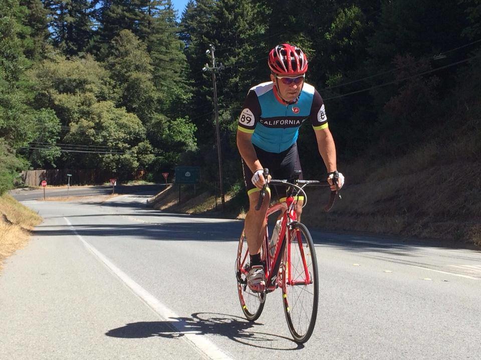
CA89 Ambassador (Ironman) Seva Fridman gives us his top picks.
The starting point of all of these routes is the California 89 store in downtown Truckee, but they could be started anywhere around Truckee or North Lake Tahoe.
Easy
Around Donner Lake
http://www.mapmyride.com/routes/view/1612168945
About 12 miles with 600 ft elevation gain.
Cars: Medium to High
This ride goes through a busy part of Truckee if started at the store, but once you get on the Donner Lake shore the view becomes beautiful. There is ample room on the bike path shoulder on the north side of the lake even as the summer brings on more traffic. As you round the West side of the lake and onto the South side, the road narrows and traffic diminishes. On the East end of the lake you wind through Donner Lake State Park.
Legacy Trail
http://www.mapmyride.com/routes/view/1612176886
About 11 miles with 600 ft elevation gain.
Cars: Low to Medium. Pedestrians traffic high.
The Legacy Trial is a scenic path that follows the Truckee River from Truckee to Glenshire. There is no motor vehicle traffic, but foot traffic can be high. A very good ride for families with children if started at the Truckee River Regional Park.
89 HWY to Tahoe City and back
http://www.mapmyride.com/routes/view/1612185049
About 30 miles (35 with Squaw Valley detour) with 900 ft elevation gain.
Cars: High (but shoulder is wide)
Riding along legendary CA89 highway, cars are passing by fast, but the shoulder is wide and kept clean during the summer. Perfect for time trial training and very popular among triathletes. Between the turn off to Squaw Valley road and Tahoe City, there is a well-maintained bike path going along the Truckee River.
Moderate
Truckee to Cisco Grove and back
http://www.mapmyride.com/routes/view/1612192648
About 44 miles with 3000 ft elevation gain.
Cars: Low to Medium
This is my favorite ride. It includes a classic climb and descent of historic old 40 highway. Between the overpass near the Norden exit on HWY80 and Cisco Grove there are basically no cars. You won’t be able to stop smiling while flying down the descent to Rainbow Lodge - the view of the Yuba River is priceless and there are few cars along the way.
The Triangle: Truckee – Kings Beach - Tahoe City - Truckee
http://www.mapmyride.com/routes/view/1612200049
About 36 miles with 2300 ft elevation gain
Cars: Medium to High.
The highway 267 climb to the top of Brockway summit can get hard when it is hot with no shade. However, the downhill to Kings beach is rewarding. Keep in mind, you are riding on a very busy highway and cars are moving fast. The ride from Kings Beach to Tahoe City along the shore of Lake Tahoe is classic with amazing views of the lake. Plenty of quick stop stores to refill water and pick up snacks.
Truckee To Stampede Reservoir via Glenshire Road
http://www.mapmyride.com/routes/view/1612209937
About 40 miles with 2800 ft elevation gain
Cars: Low to Medium.
Not the most popular route, but definitely the worthy one. Once past the remote Glenshire district of Truckee, you are literally all alone on the road. No cars, no cyclists, no dogs - a very unique experience. Make sure you bring plenty of water and snacks, as there are no refills available past Glenshire.
You can take the Legacy trail as an alternate route for the first part of the ride. There is an option to continue and complete the loop via Hobarts MIll road to CA89 HWY down to Truckee, but note there are two miles of unpaved road.
Difficult
Truckee - top of Skislope Way in Tahoe Donner - Truckee (via Alder Creek)
http://www.mapmyride.com/routes/view/1612218478
Only 18 miles, but with 2100 ft of elevation gain it is very intense. Combined with any other route this will make a truly challenging ride. If you are into climbing - this one is for you. First part of Northwoods Blvd is brutal. Not long enough? Do it twice. Or combine it with Old 40 climb (see above).
Cars: Low to Medium
To Mt. Rose and back
http://www.mapmyride.com/routes/view/1612226869
50 miles with 6000 ft elevation gain.
Cars: Medium to High.
Beautiful route. Offers some great riding along Lake Tahoe North Shore, as well as scenic Mt. Rose highway. Gets a little busy with traffic going through Stateline. You can ride HWY 89 back to Truckee instead of HWY 267 as an option, which adds about 16 extra miles, but you will avoid the HWY 267 climb.
Around Lake Tahoe
http://www.mapmyride.com/routes/view/1612235242
89 miles with over 6000 ft elevation gain.
Cars: Medium to High (South shore has very high traffic).
This is the bucket list Tahoe ride and has to be done at least once in a lifetime. Amazing vistas from all sides of the lake. Pack a lunch and stop at one of Tahoe’s iconic beaches. There are plenty of refill opportunities along the way. Three climbs: Brockway Summit, Spooner Lake and Emerald bay.
Extreme
Gooddler Tour
226 miles with 13,000 ft elevation gain (10,000ft straight uphill over the last 70 miles)
Cars: Varied
The only ride which does NOT start at California 89 store, but ends there.
This ride is for mentally challenged people (people looking for a mental challenge).
Consult your doctor before attempting.


