The Power of Atmospheric Rivers: Rivers in the Sky
It seems that over the past decade, the phenomenon of Atmospheric rivers have become a consistent recurring storm in the winter months. But what are they, why are they happening more often and how does it impact the Lake Tahoe area? These were questions we had - so we thought we might as well find the answer to these questions and share what we learned - we can't be the only ones scratching our heads about where these storms suddenly came from.
What is an Atmospheric River?
Atmospheric rivers, often called "rivers in the sky," are huge channels of moisture-laden air that travel through Earth's atmosphere. Atmospheric rivers usually form over tropical regions. Warm temperatures there cause ocean water to evaporate and rise into the atmosphere. Strong winds help to carry the water vapor through the atmosphere. One of the most well-known types of atmospheric rivers for the Tahoe Basin is the "Pineapple Express" - tropical air coming from the Hawaiian islands over to the West Coast.
Atmospheric rivers seem to have appeared out of nowhere and now are a typical storm we see every winter - so why did we never hear about them before about 10 years ago?
Research conducted by US Geological Survey (USGS) scientists and their partners has revealed an intriguing pattern over the past seven decades. This pattern suggests that there has been an increase in the transport of water vapor onto the West Coast of the United States, closely associated with ocean surface warming. While atmospheric rivers themselves aren't predicted to become more frequent, the precipitation they bring will become more volatile. This means that instead of a consistent distribution of rainfall, we can expect more concentrated and intense atmospheric river events.
The Upcoming Storm
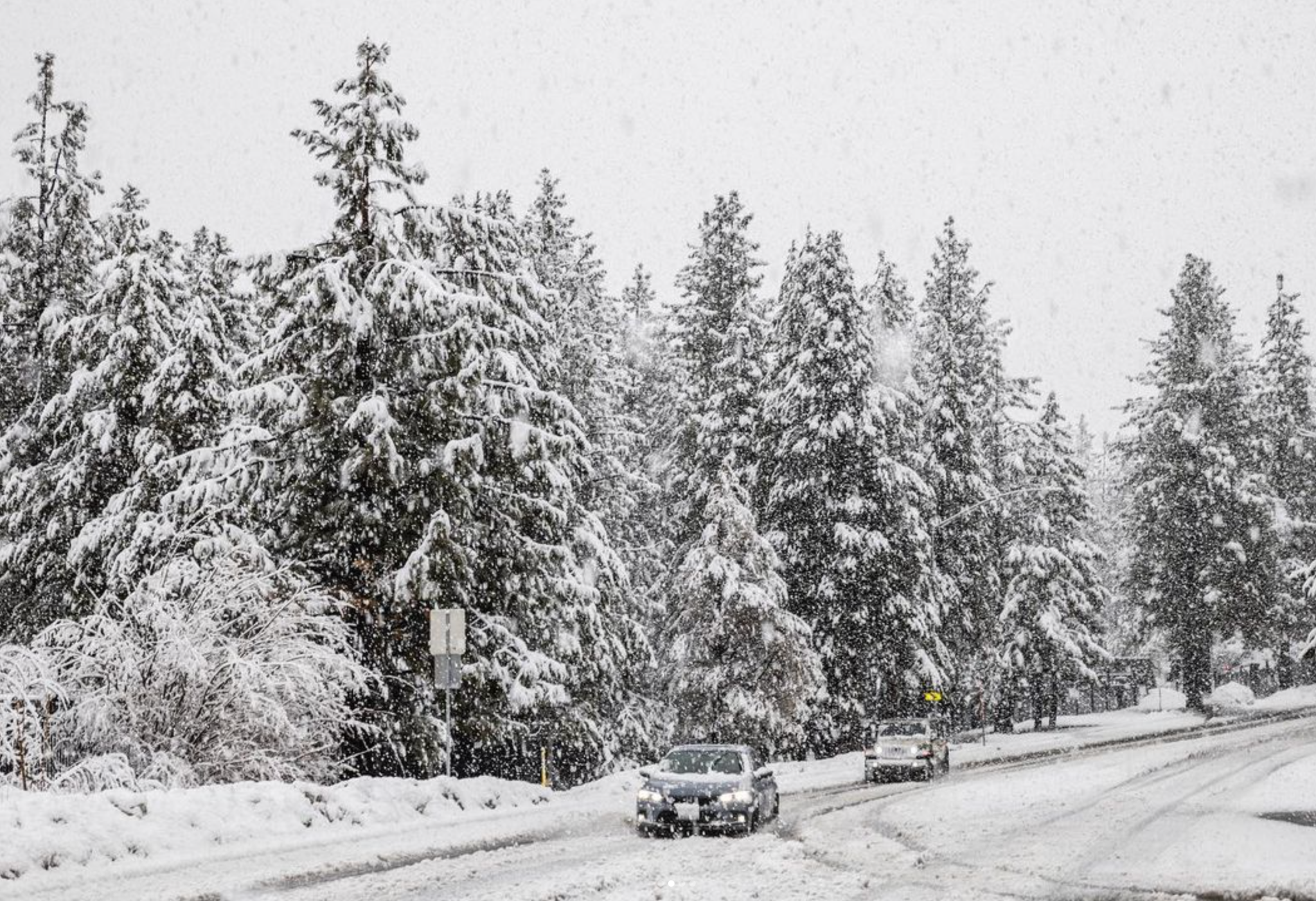
An Atmospheric River is headed towards the west coast and expected to land this weekend and last through early next week. Characterized by strong and gusty winds, this storm is expected to bring both mountain snow and valley rain showers. In higher elevations, heavy snowfall is anticipated, potentially leading to travel disruptions and road closures. Snowfall rates may reach 1-2 inches per hour above 7000 feet, with accumulations of 12-18 inches or more in certain areas.
As always, make sure you're well-prepared to weather the storm's conditions. Here's to hoping this atmospheric river delivers the anticipated snow to bolster our snowpack for the season.


